
Interesting Historical Moments
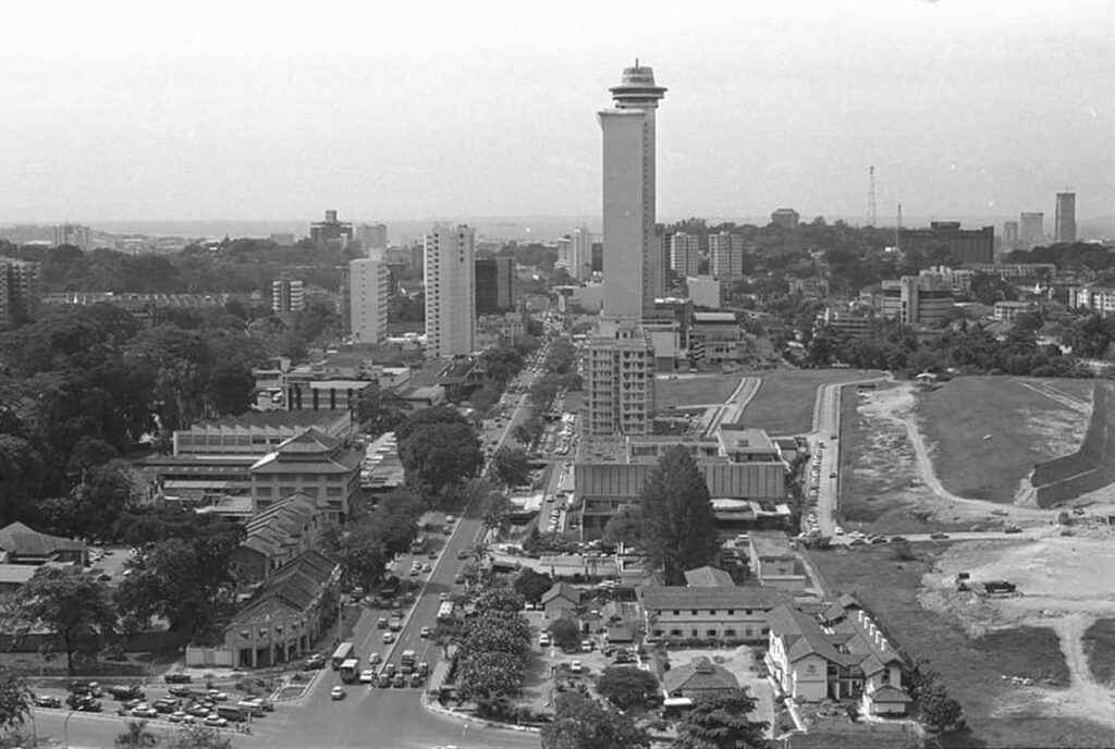
Before: Orchard road before major development (1950’s)
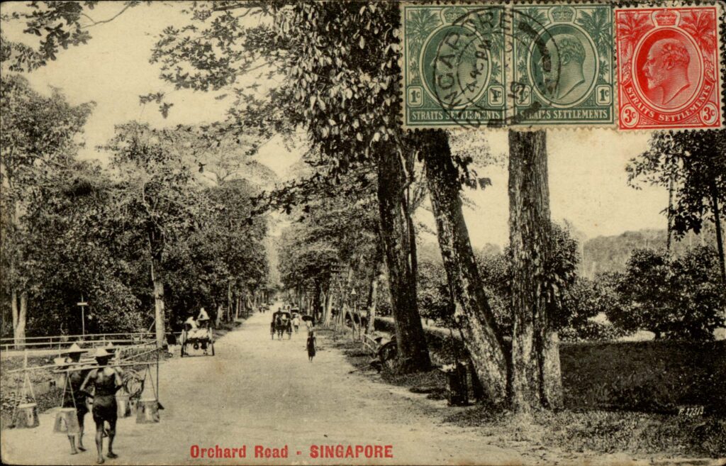
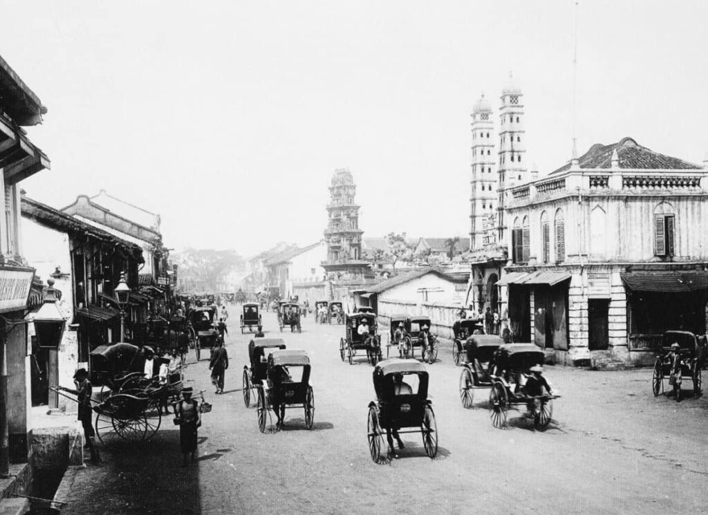
Before: Orchard Road Singapore (1800’s)
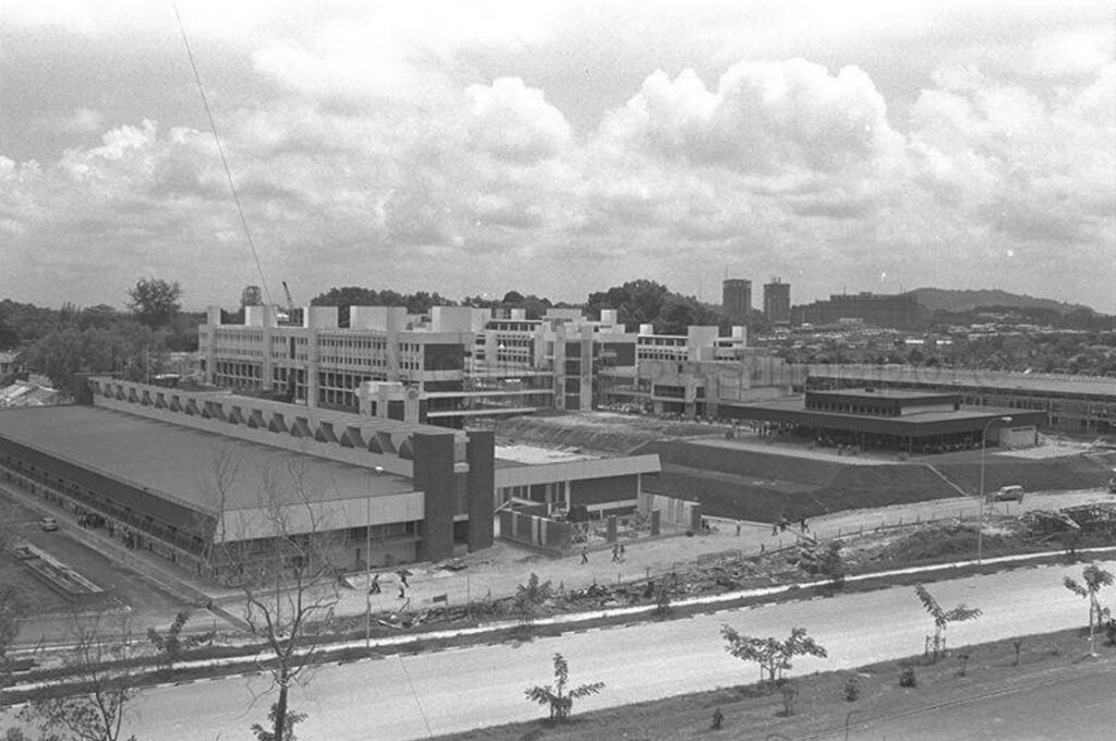
Before: Singapore Polytechnic – Dover Road Campus (1976)
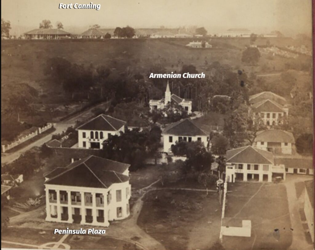
Before: Meyer Mansions (Peninsula Plaza) with Armenian Church in Background (1842)
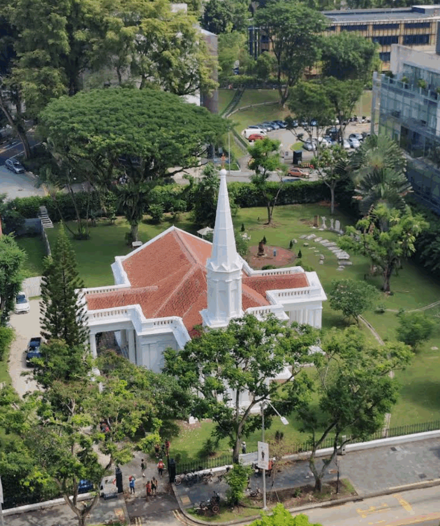
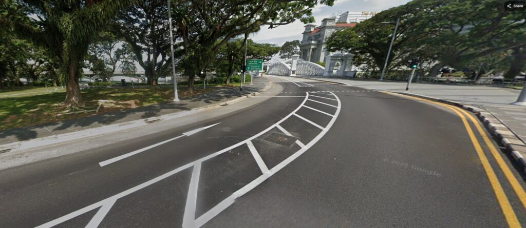
Now: Armenian Church (2026)
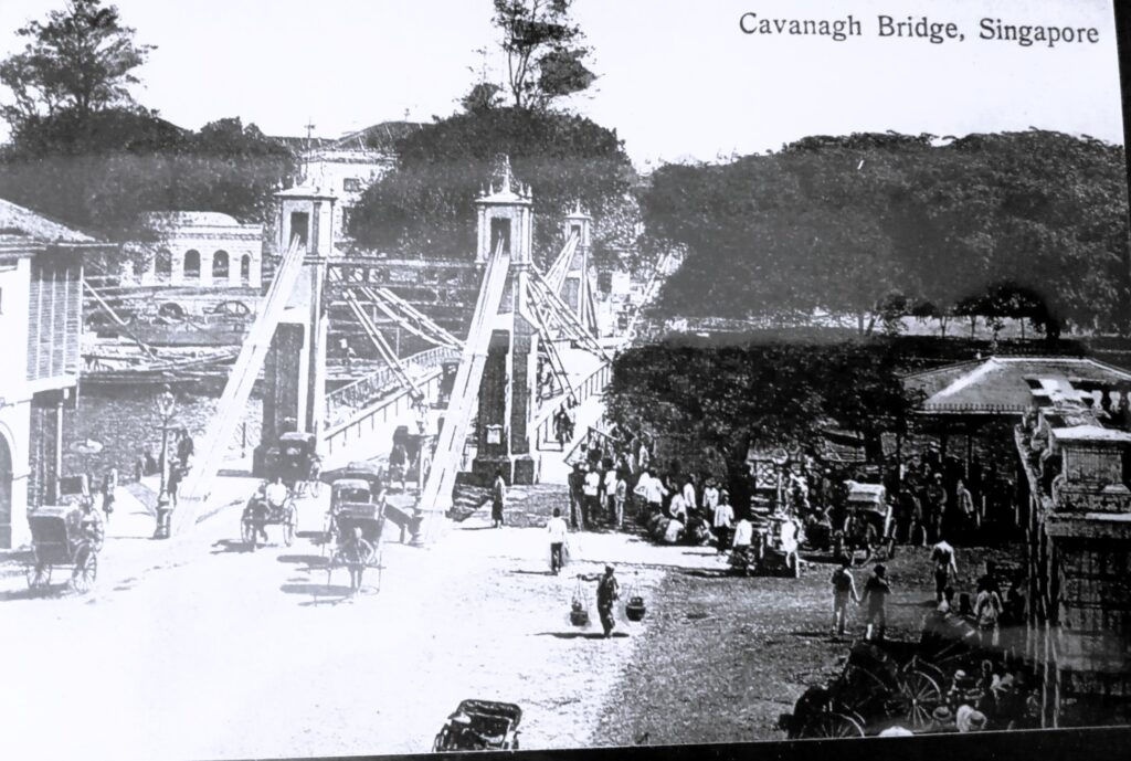
Before: Cavanagh Bridge (1869)
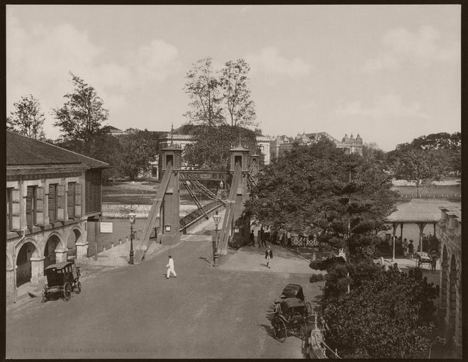
Before: Cavenagh Bridge (1900)
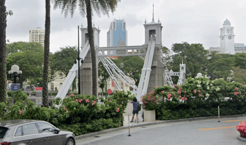
Now: Cavenagh Bridge (2026)
The bridge was initially planned to be called Edinburgh Bridge to commemorate the 1869 visit of the Duke of Edinburgh. The Singapore Legislative Council ultimately decided to honour Governor Cavenagh for his leadership and public works contributions right before Singapore transitioned to a Crown colony
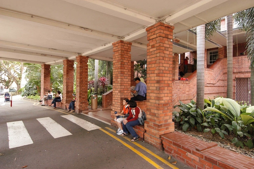
Before: National Library old red building entrance (1990)
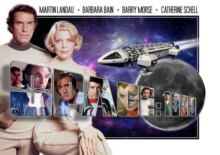
The iconic movie – Space 1999 shown in 1975
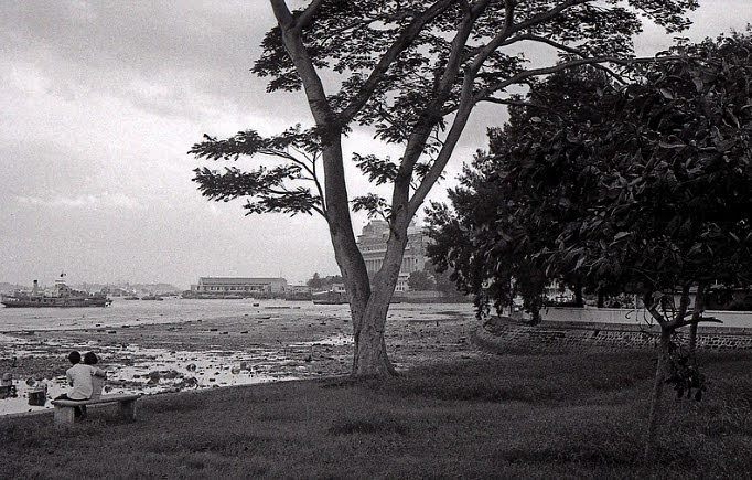
Before: Queen Elizabeth Walk (1953)
Queen Elizabeth Walk was named to celebrate the 1953 coronation of Queen Elizabeth II. Originally part of the Esplanade Park developed in 1922, the popular seafront promenade was officially refurbished, renamed, and opened on May 30, 1953, in her honor.
Before: South Bridge Road (1900)
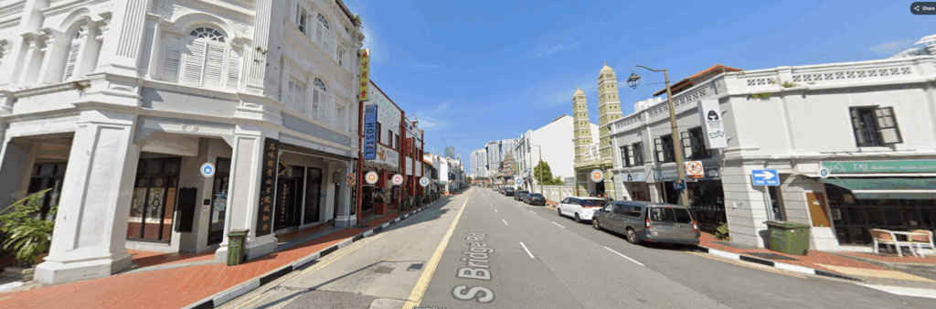
Now: South Bridge Road (2026)
South Bridge Road was named after the first bridge built across the Singapore River (originally Thomson Bridge, later renamed Elgin Bridge). Because the road served as an extension of North Bridge Road and ran south of this river crossing, the colonial British administration named it South Bridge Road. Built in the 1830s by convict laborers, the 1.6 km route functioned as a primary commercial artery connecting the central town to the New Harbour (now Keppel Harbour).
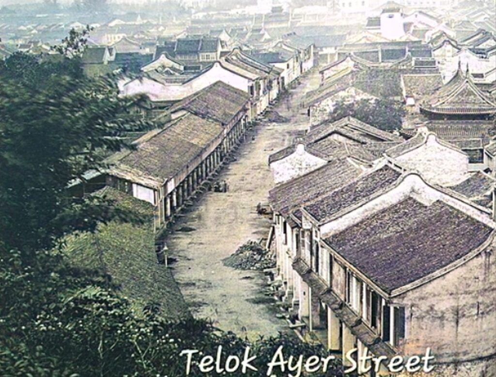
Before: Telok Ayer Street (1900)
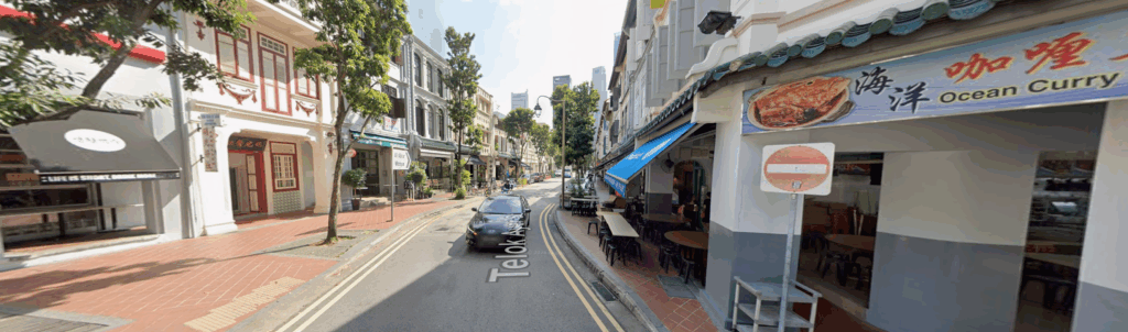
Now: Telok Ayer Street (2026)
Telok Ayer Street was originally a coastal road that literally ran right along the coastline of Telok Ayer Bay. Its name comes from Malay, where telok translates to “bay” and ayer means “water”
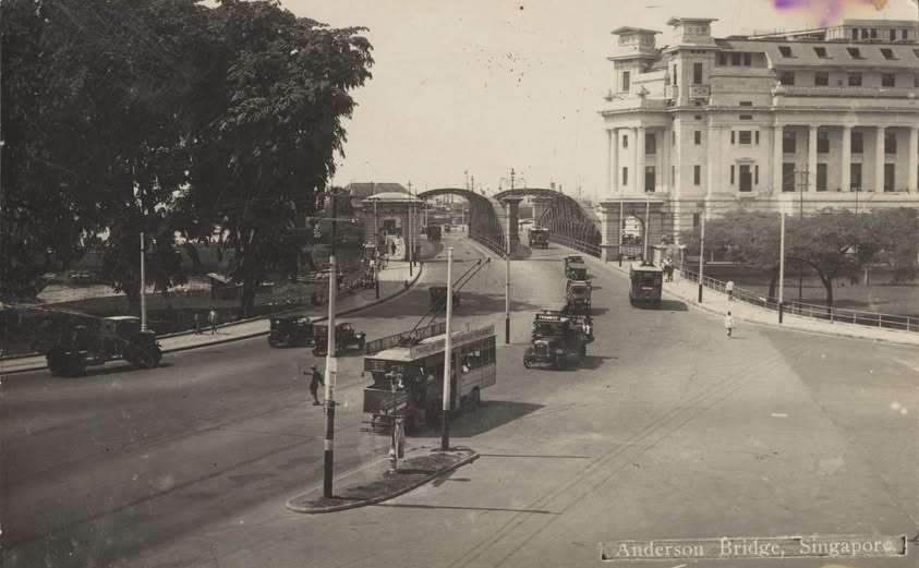
Before: Anderson Bridge (1909)
Now: Anderson Bridge (2026)
Sir John Anderson served as the Governor of the Straits Settlements and High Commissioner for the Federated Malay States from 1904 to 1911. Completed in 1909 to relieve heavy traffic from the Cavenagh Bridge, the bridge was officially opened by Sir John Anderson himself on March 12, 1910
1940’s
1941 – Bedok Hill Massacre Site
1960’s
1960 – Ayer Rajah Aerial View
1960 – Long Beach Seafood
1960 – Long Beach Seafood
Bedok Rest House (circa 1960) became Long Beach Seafood in the 1970s but today is the Fairmount Condominium.
The WW2 pill-box is now the refuse bin under the lone tree on Bedok Junction.
The concrete steps became the driveway into Bedok Camp 1.
The “koleks” is the bus-stop.
Famous Ghim Moh Guan Kee Char Kway Teow
1970’s
Famous funny Wang Sa and Ya Fong show
Maps of Singapore
Interesting changes in Map of Singapore over time.
Map of Singapore during 1906
Map of Singapore during 1920
Map of Singapore during 1942
The forgotten years
1908 – Victoria Building
1910 – Singapore Aerial View
1929 – Hokien Street
1929 – Japan Street
1929 – North Bridge Road
1929 – North Bridge Road
1929 – Orchard Road
1929 – Bras Brasah Road
1965 – Orchard Road
1965 – International Plaza Building
1960 – Bus Tickets
1960 – Singapore Buses


